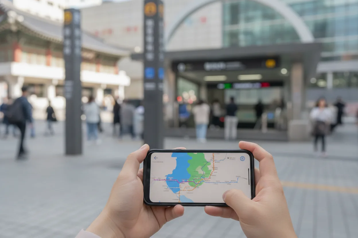
Navigation ranks among the biggest headaches for foreign visitors to Korea, often ahead of language or money worries. Every guidebook assumes Google Maps will work the way it does everywhere else. Locals know better. The app goes effectively blind the moment you land at Incheon, unable to give you a bus number or a subway transfer. That gap between expectation and reality can turn a six minute subway ride into a fifteen minute walk in July heat. So what does the app Koreans actually use know that Google Maps simply can't tell you?
Here's the part that surprises even frequent travelers: this isn't a glitch. Korea restricts detailed map data from being exported to servers outside the country, a national security policy that's been in place for decades. Google Maps can still show you a driving route, sure, but it can't give you a bus number, a subway transfer, or a walking path. Land in Korea, open Google Maps expecting it to behave like it does everywhere else, and you've already burned thirty minutes at the airport wondering why it won't cooperate.
Why Google Maps Quietly Fails Tourists in Korea
Why Google Maps Fails Tourists in Korea
Step 1: Korean law blocks detailed map data from leaving domestic servers
Step 2: Naver and Kakao hold the licenses; Google does not
Step 3: Google Maps shows the pin, but no bus number, transfer, or walking path
Step 4: Tourist routes on foot, missing faster transit options
Step 5: Switch to Naver Map (English mode) for full transit data
Source: Based on article content
The mechanism is simpler than most tourists assume. Google doesn't have bad data on Korea. Korean law just won't let that granular data, the kind needed for real time bus arrivals or subway platform directions, leave domestic servers. Naver and Kakao, the two homegrown platforms that dominate Korean internet life, hold the licenses to operate that detailed mapping data locally. Google doesn't have the same access, and nothing suggests that's changing anytime soon.
Your Google Maps pin will show you where a restaurant sits and how to drive there. It won't tell you which bus stops nearby, when the next one arrives, or whether a five minute walk beats waiting for a transfer. For a country where subway and bus cover the overwhelming majority of daily movement, that's a serious blind spot for a first time visitor who hasn't been warned in advance.
This is exactly the failure mode from the intro: travelers routing themselves from Myeongdong to Bukchon Hanok Village on Google Maps alone often end up on a fifteen minute walk in July heat that a two stop subway ride would've solved in six. This one fact, more than any language barrier, decides whether your first day in Seoul feels easy or exhausting.
Setting Up Naver Map So It Actually Works For You
Naver Map Transit Filters: Which One Fits Your Trip
| Filter | Optimizes For | Best For |
|---|---|---|
| Best | Time, transfers, and walking balanced | Most travelers, default option |
| Fastest | Shortest total travel time | Travelers comfortable with transfers |
| Fewest Transfers | Fewer line changes | Unfamiliar with subway systems |
| Least Walking | Minimal walking distance | Jet lagged travelers with luggage |
Source: Based on article content
If Google Maps is structurally blind in Korea, the fix isn't a workaround. Switch tools entirely. Naver Map, once you flip it into English mode, behaves close enough to Google Maps that the learning curve is short. Station names show up in English rather than Korean script, and directional cues read as "Transfer" and "Get off" instead of the raw Korean transit terms. That one settings change removes most of the friction keeping tourists from trusting the app.
The route options matter more than they look at first glance. Naver Map gives you four filters when searching transit directions:
- Best: balances time, transfers, and walking distance
- Fastest: shortest total travel time regardless of transfers
- Fewest Transfers: fewer line changes for unfamiliar systems
- Least Walking: minimal walking, ideal with luggage. This one is a lifesaver on your first day off a fifteen hour flight, when your legs have opinions about stairs.
Picking between these filters comes down to trip stage more than personal taste. A traveler fresh off a long flight should default to Least Walking or Fewest Transfers. Anyone comfortable with subway changes gets the most efficient version of Seoul by sticking with Fastest.
Bus routes deserve their own mention because they intimidate visitors more than subways do, for no good reason. Korean bus numbers are just digits, no different from numbers anywhere else, so a route labeled 143 or 402 reads the same whether your phone is set to English or Korean. Naver Map lists the bus number right alongside the stop names, and once you've ridden one Seoul bus using it, the fear mostly evaporates.
The app handles real time bus arrival windows, live subway transfer timing, and walking paths that account for underground passages and exits, something Seoul stations are notorious for having a dozen or more of. Someone using Naver Map from day one moves through Seoul like a longtime resident. Someone relying on Google Maps alone spends their trip walking the wrong direction from the correct subway exit. That confidence gap is the real product Naver Map sells, not the directions themselves.
What Skipping Naver Map Actually Costs You
Myeongdong to Bukchon: Two Routes, One Big Time Gap
Google Maps Walking Route
15 min
On foot, in July heat
Naver Map Subway Route
6 min
Two subway stops
Time lost by relying on Google Maps: 9 minutes
Source: Based on article content
Knowing the app works is one thing. Understanding what happens if you never open it is another. Naver Map is free, which makes the math almost embarrassingly simple. No premium tier gatekeeping transit directions, no subscription wall between you and a working subway route. Download it before you land, not after you're standing confused at Exit 9 of Hongik University Station wondering which of the eleven exits leads to your guesthouse.
The real cost of skipping it isn't measured in won. It's measured in time and decision fatigue. A tourist navigating Seoul, Busan, or Jeju without a working transit app tends to default to taxis for trips a subway would've handled just as fast for a fraction of the price. A short KakaoTaxi ride across central Seoul can cost noticeably more than the equivalent subway trip, fares swing depending on traffic, time of day, and surge pricing, while the subway trip with a T-money card rarely runs past 1,550 won. Multiply that gap across a five day trip with several rides a day and the arithmetic adds up fast.
There's a psychological cost too, one that never shows up on a receipt. Travelers who can't read their own route tend to hover near tourist zones like Myeongdong or Hongdae because those areas feel navigable, while neighborhoods like Seongsu-dong or Mangwon, both well worth the trip, stay just out of reach because getting there feels like a gamble. Naver Map doesn't just save money. It expands the map of what feels reachable.
A Korea trip is technically survivable without ever opening Naver Map, the way a hike is survivable without a trail map. But the question this post opened with wasn't whether Google Maps merely inconveniences tourists. It was what the app Koreans actually use knows that Google Maps can't tell you. The answer is everything that makes a city legible: the bus number, the correct exit, the six minute route instead of the fifteen minute walk. The gap between the traveler who downloaded Naver Map before landing and the one who didn't is the gap between a week that feels like discovery and one that feels like damage control.